Project Description
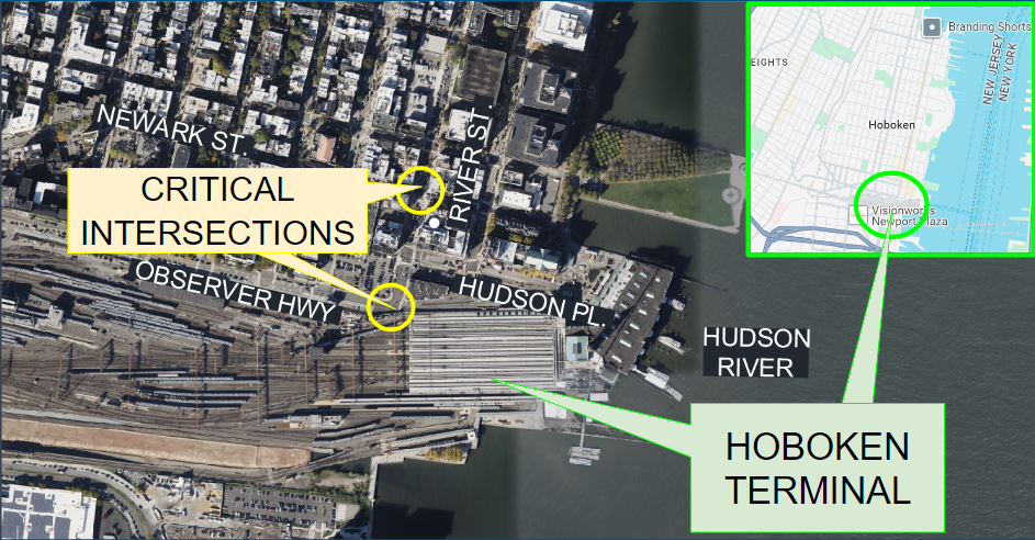
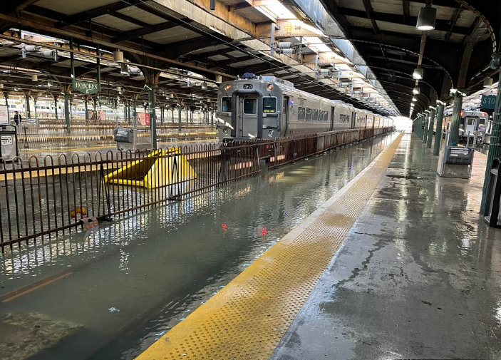
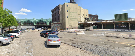
Hoboken Terminal is an intermodal passenger station located at the southeast corner of Hoboken NJ directly adjacent to the Hudson River. The terminal area and associated corridor frequently experience flooding and high traffic volumes due to aging infrastructure causing inadequate service for the increasing population. This, combined with frequent storm surge events caused by the Hudson River overtopping, causes frequent flood-related issues and subsequent delays for the terminal services, road closures, and disturbances for all of those who live in and travel through the high-density city. In addition to this, the current terminal parking area and entrance are inefficient, and the critical conveyance corridor, which spans from the first critical intersection of Newark Street and Observer Highway to the terminal at the intersection of Hudson Place and River Street, experiences heavy traffic congestion.
This project aims to propose design solutions that mitigate flooding, accounting for flooding that stems from both excess rainfall runoff and from the overtopping of the Hudson River. The transportation aspect of the project will serve to address the heavy traffic flow in the area and create more efficient vehicular and pedestrian traffic patterns. The scope of such will also extend through a full redesign of critically affected intersections and the corridor along Observer Highway.