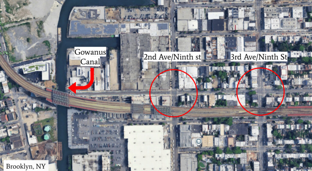
Gowanus, a neighborhood in Brooklyn, NY, is a fast-growing area with new apartment developments on the rise. The Gowanus Canal, located at the heart of the community, is approximately two miles long and 100 feet wide, flowing directly into New York Harbor. Originally built in the 1800s as an industrial shipping route, the canal remains heavily polluted with contaminants from its past use. Today, combined sewage continues to be discharged into the canal, and it has been officially designated a Superfund site.
Due to climate change, rising sea levels have led to frequent flooding during rain events. These conditions place added strain on the sewer system and contribute to ongoing environmental and public health concerns. To help manage flood risks, the proposed intervention involves enlarging the existing stormwater piping network and constructing a floodwall along the canal.
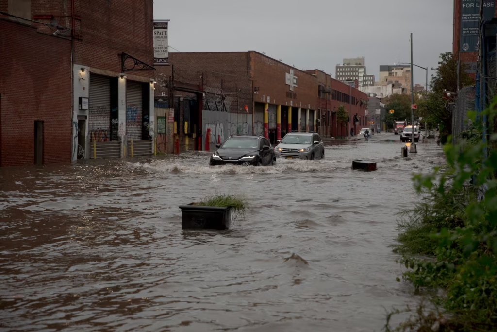
The project additionally highlights two of the most flood-prone intersections—9th Street and 2nd Avenue, and 9th Street and 3rd Avenue. These areas are particularly vulnerable during storms, leading to major disruptions in traffic and public safety. Heavy congestion is observed on 3rd Avenue especially during peak hours, while 2nd Avenue lacks dedicated bike lanes in both directions. This absence of safe cycling infrastructure has contributed to a rise in injuries and fatalities. Both intersections also fail to meet current ADA standards, further limiting accessibility.
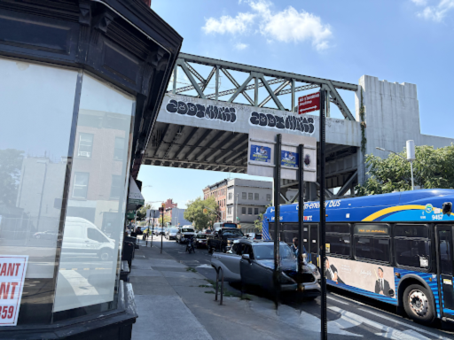
Heavy Congestion at 3rd Ave
The goal is to develop a multidisciplinary design solution that not only addresses flooding through enhanced drainage systems and the integration of green infrastructure but also improves transportation efficiency and promotes sustainable land development. Ultimately, the project is rooted in promoting long-term resilience and livability for the Gowanus neighborhood.