Project Description

Image showing marked up map of project location. Ocean city can be seen to the south while somers point is to the north. Big boxes show white text that contain labels for points on the map.
Image showing marked up map of project location

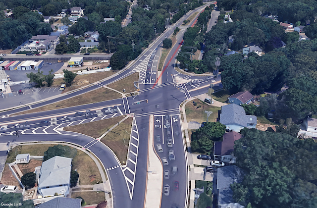
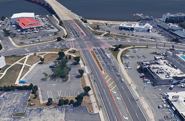
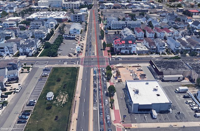
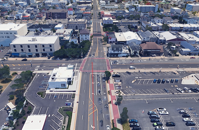
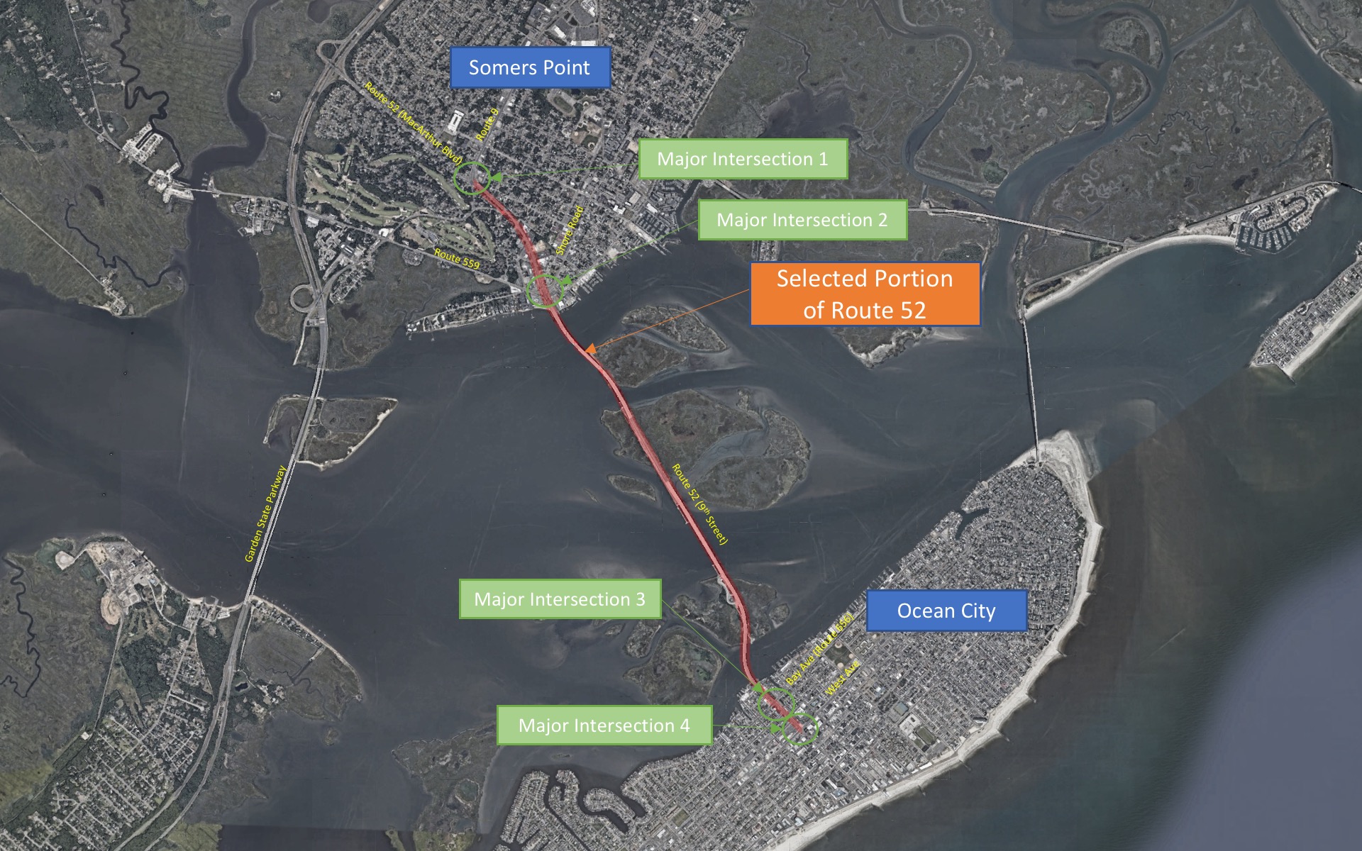
The team are proposing a redesign of numerous intersections along the corridor in order to improve roadway safety and efficiency. ​


The Route 52 Corridor connecting Somers Point to Ocean City, frequently experiences congestion that disrupts traffic flow. To address this issue, the team will assess 4 major intersections along the corridor, identifying key problem areas. Targeted solutions will be developed to meet the traffic demands of the area, aiming to reduce delays, facilitate better traffic flow, and improve safety along the corridor.

Map of Major Intersection 1. route 9 comes in from the left and the corridor is ahead.
Major Intersection 1

Map of Major Intersection 2. Water can be seen in the background as the corridor transitions from roadway to bridge.
Major Intersection 2

Map of Major Intersection 3. Heavy traffic shown on the Ocean City side. Corridor continues through intersection.
Major Intersection 3

Map of Major Intersection 4. Corridor ends as 9th street intersects West Ave.
Major Intersection 4
GIF overview (flyover of corridor)
GIF flyover of corridor