

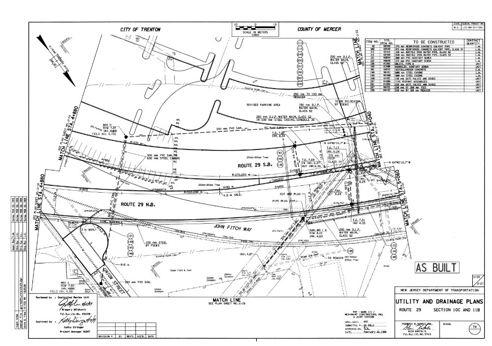
Before the actual design of the pedestrian bridge can be determined, the most fitting location must be chosen. By exploring this second option as a location for the walkway as seen in the Google Maps satellite image attached , the design constraints change drastically. Factors such as the elevation on each side of the road, the length across Route 29 from point A to point B change and the angle, sloping and positioning of the skyway change drastically as shown in the attached NJDOT roadway cross-section. This alternative location provides a potentially stronger and more effective connection between the local neighborhood and Waterfront Park area and new trail. The new location connects the South tip of Cooper field and merges into the trail both Northward and Southward. The location is more central and taps into a new community.